Tuesday, June 30, 2015

Dominguez Canyon Wilderness Area, Grand Junction, CO


P1010693

After our hike on Kebler Pass the other day Jim noticed that his hiking boots were coming apart at the seams. The closest town with good shopping is Grand Junction, about 50 miles from Cedaredge. They have a Sportsman’s Warehouse, REI, and Cabela’s, so we decided to take a drive and check them all out. On our way we stopped for a hike in Dominguez Canyon off Bridgeport Road, about 17 miles from Grand Junction.

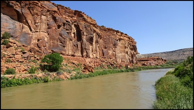
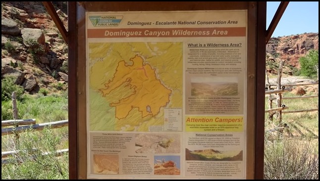
Dominguez-Escalante National Conservation Area contains 210,172 acres of red rock canyons and sandstone bluffs along the Gunnison River, and the Escalante, Cottonwood, Little and Big Dominguez creeks. There is a 17 mile dirt road that goes through Escalante Canyon about 10 miles from Delta, CO, but to reach Dominguez Canyon, the largest BLM roadless area in Colorado, you drive just a few miles on Bridgeport Road as it twists its way down the canyon to the trail head parking area.

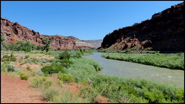
Gunnison River from the bluffs above the parking area.

Cedaredge, CO

The start of the trail, where there is obviously a security issue. There is an unlocked pedestrian gate on the right.

DSC01979

DSC01977

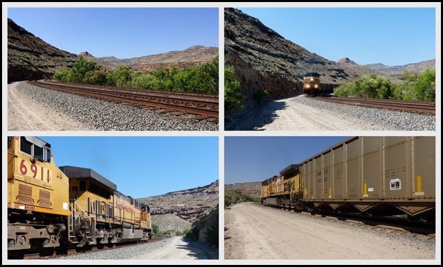
For the first third of a mile we had to walk beside the Union Pacific railroad tracks. Our timing was perfect, as a train came towards us just a few minutes after we began. It was a bit unnerving being so close to a moving train, and on a curve no less. The deafening squeal of the brakes from the cars made us both imagine an imminent derailment.

Cedaredge, CO1

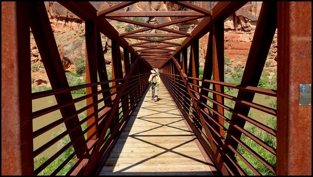
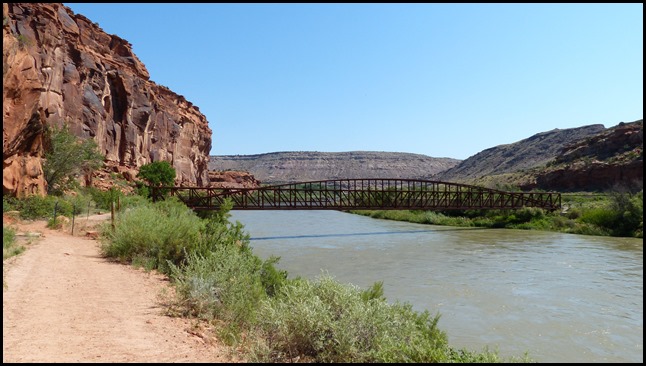
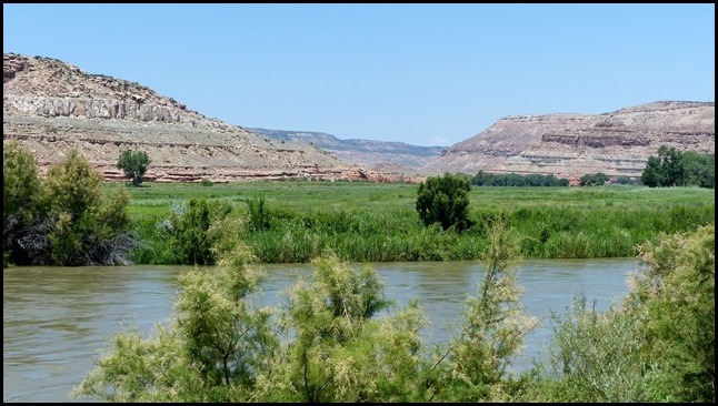
The trail then crosses the tracks and continues along to two bridges, about a mile into the hike. The first is private property, so we crossed the second where the trail continues along the Gunnison River for another mile toward the mouth of Dominguez Canyon.

P1010680

DSC01963

DSC01965

P1010688

DSC01966

So after about two miles we’ve finally reached the trail into the canyon.

DSC01968

P1010698

DSC01969

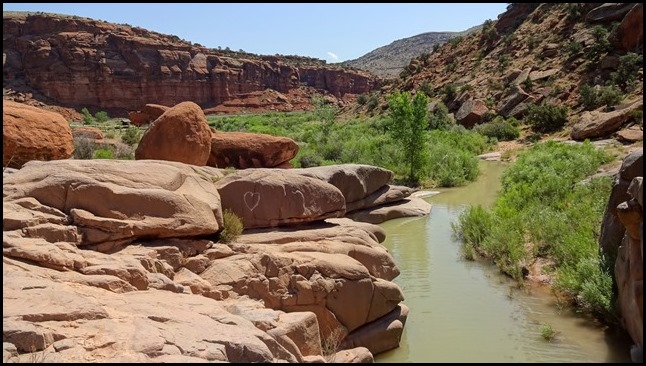
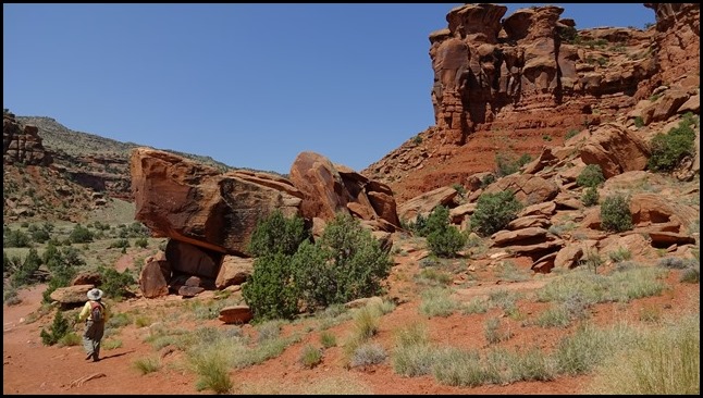
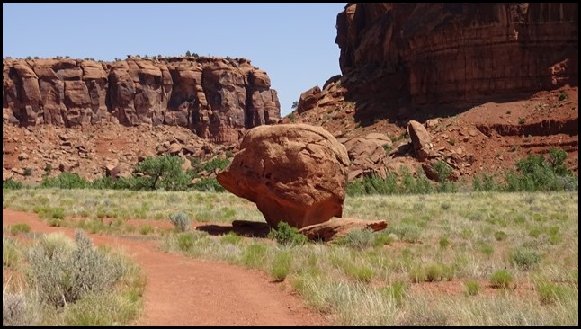
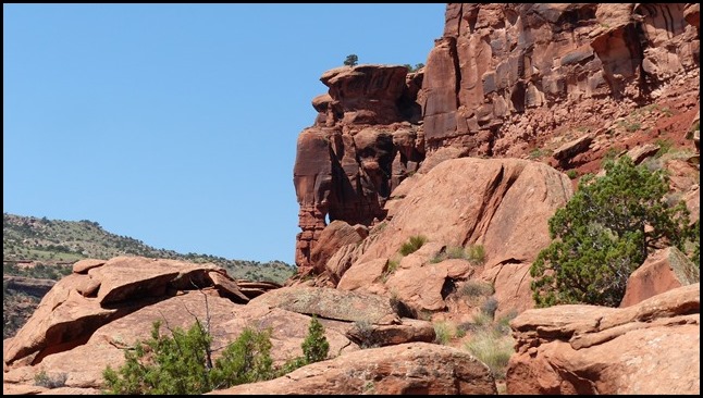
This is really an easy trail, with a gentle grade up the farther we got in the canyon. And extremely scenic with our favorite red rock.

DSC01970

DSC01971

P1010703

We went another mile and turned back, since we still had shopping to do in Grand Junction, and the temperature was rapidly rising.

P1010701

P1010704

P1010707

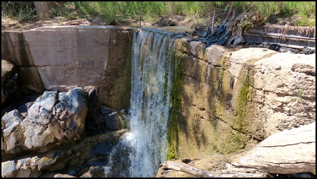
There is supposed to be a waterfall at 3.5 miles and petroglyphs around the 4 mile mark but that will have to wait for another time in cooler weather. The trail continues for over 16 miles to a primitive campground.

View across the railroad tracks and river, almost back to the car.

P1010709

And the shoe shopping was a success. Jim now has a new pair of waterproof Keen hiking boots, on sale at Cabela’s, which he breaks in on our next hike back up on cooler Grand Mesa.
Saturday, June 27, 2015

Three Lakes Trail, Kebler Pass, CO


We took a day trip east through the little towns of Hotchkiss, Paonia, and Somerset, then continued on to Gunnison County Road 12, better known as Kebler Pass Road. This is a dirt/gravel road with a couple spots of intermittent pavement that goes for thirty miles to Crested Butte, climbing over the 10,007’ pass.

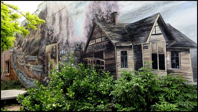
Mural on a building in cute little downtown Paonia.
DSC01935

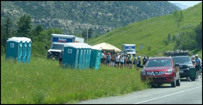
Along highway 133 before we got to Kebler Pass Road we encountered many cyclists heading west, and I remembered that the 7 day, 420 mile Bicycle Tour of Colorado was taking place this week. It was really hot, in the 90s at the 5-6000’ elevation they were riding through. Some of them didn’t look like they were having much fun. There is a lot of climbing on this ride.

P1010652

Rest stop along the route.

P1010653

The temperatures dropped to the upper 70s as we climbed to our destination, the Lost Lake Campground a couple miles south of Kebler Pass Road, about 7 miles before the pass..

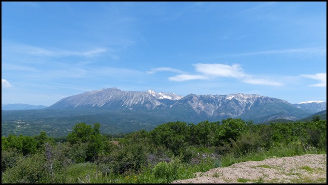
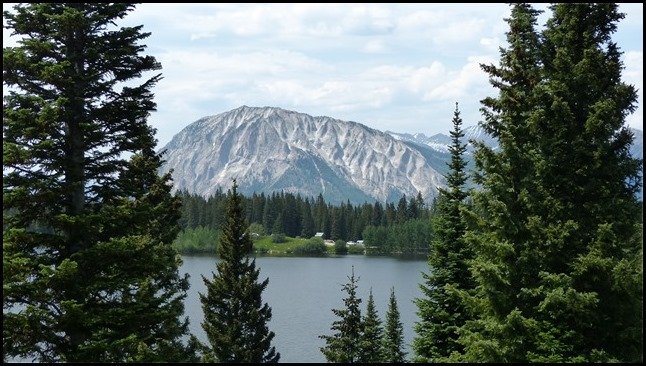
Our lunch stop at a very scenic overlook..

P1010655

P1010654

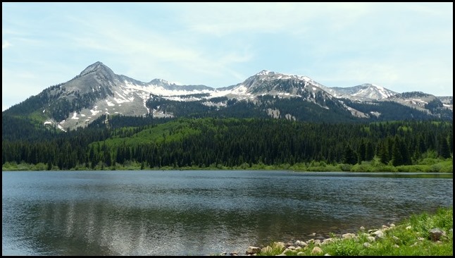
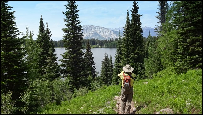
The Three Lakes Trail begins at the Lost Lake Campground, with many sites having great views of Lost Lake Slough.

P1010657

For a short hike (just under 4 miles), and with only about 500’ of elevation gain, it packs a lot of scenery.

P1010665

DSC01955

P1010667 

Kebler Pass contains one of the world’s largest aspen groves, which you get to hike through on this trail. When we did the full moon ranger hike in Great Basin National Park we learned that aspen trees in a grove all grow from one root system, something we did not know. I found an article about the Keebler Pass grove which says:

“This aspen grove has been tested and found to be a clonal colony. It therefore grows from a single root system and is a single living organism. This hidden leviathan is ostensibly the largest living entity in the state of Colorado and one of the largest in the world.”

You can read the full article here. It’s quite fascinating.

P1010670

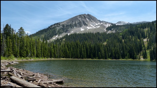
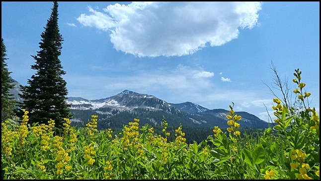
More sights from the trail that passes Lost Lake Slough, Lost Lake, and Dollar Lake.

P1010671

DSC01942

P1010659

And even a small waterfall.

DSC01943

P1010661

A very nice hike indeed.

DSC01957

P1010672

P1010674

On the way home we stopped in Paonia to give Revolution Brewing a try. It’s been a while since we visited a brewery and this is just a small one with a tasting room in an old church downtown. We got a flight of four different beers, and although not bad (I did like the IPA), it was pretty much just average.

We did have an enjoyable conversation with the guys at the next table, who were cyclists from Michigan riding the bicycle tour. The next day’s ride was going from Hotchkiss to Crested Butte, a route that took them over Kebler Pass Road. They weren’t too crazy about riding 30 miles of gravel on road bikes, and since this is not a race, they were planning to just bike to where the pavement ends and back to their car for about a 50 mile ride, then drive over the pass to Crested Butte. Smart idea!

Monday, June 22, 2015

Cedaredge, CO, Gateway to the Grand Mesa


Our home for a few weeks is the Shady Creek RV Park in Cedaredge, Co, a quirky little park that is basically in someone’s backyard. It’s hot here at just over 6,200’ but it’s only a 15 mile drive up to the top of Grand Mesa, the largest flat mountain in the world, at 10,000’. We’ve been up there a couple times already and have plans for a few day trips to other interesting places not too far from here.

Our private, shady site is next to a small building which houses a washer, dryer and restroom. The owner is not crazy about kids so she rarely rents sites to families unless it’s just for a night or two. She would rather have quiet old retirees like us, so this ought to be a nice place to be over the 4th of July.

P1010646

We are chipping away at our to-do list, having ordered a few things, washed both the car and Lazy Daze, and started refinishing some of the kitchen drawers and cabinets that were looking pretty bad. We just sanded them lightly, touched up worn spots with some stain, and used Minwax Wipe-On Poly. The problem is it takes 3 coats so it’s an all day process, but the ones we’ve done so far look much better.

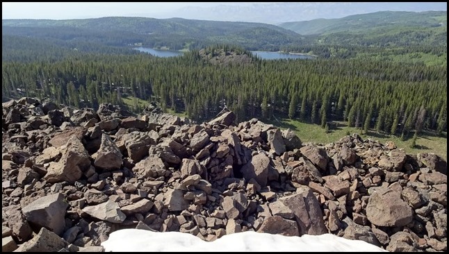
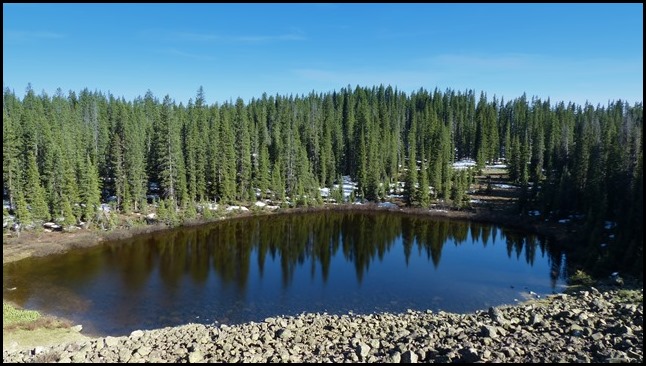
Here are some photos of our hikes up on Grand Mesa, which contains about 300 lakes. This is a problem only in that all that water makes for good mosquito breeding, but so far we haven’t found them to be much of a problem.

P1010633

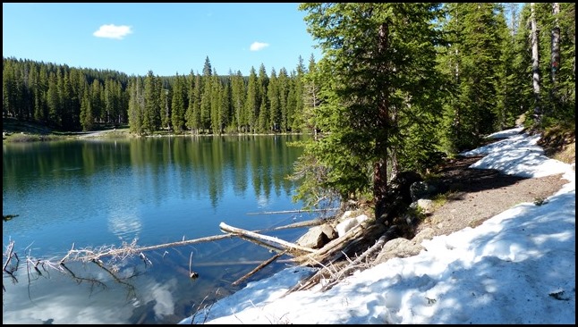
Our first attempt around one of the lakes was cut short due to snow. We forgot to put on our high top waterproof hikers so we went a bit lower to the Scotland Trail, where it was much dryer.

P1010635

P1010636

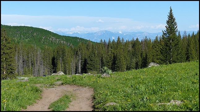
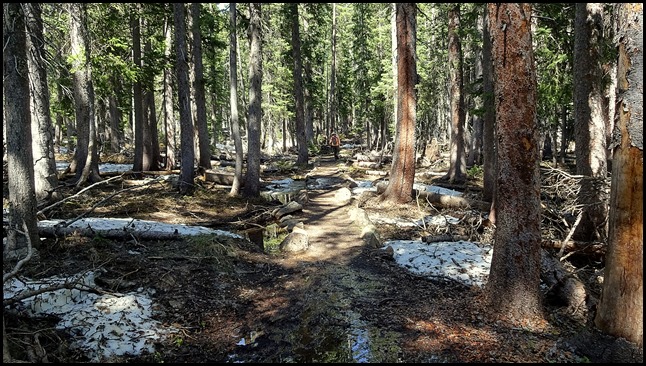
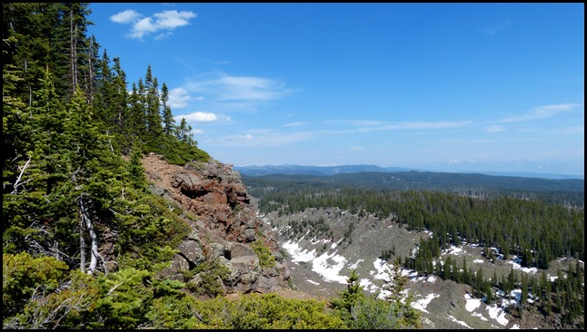
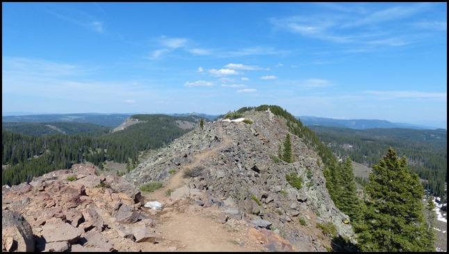
We went back a couple days later to hike the Crag Crest National Recreation Trail, a 10 mile loop which we did not intend to complete. Instead we started at the western trail head and did an out an back to the crest, a nice 6 mile hike. Although a gradual climb of about 900 feet over three miles to the crest, we sure could feel that we were at almost 11,000’ elevation. Maybe we should be carrying oxygen tanks in our backpacks.

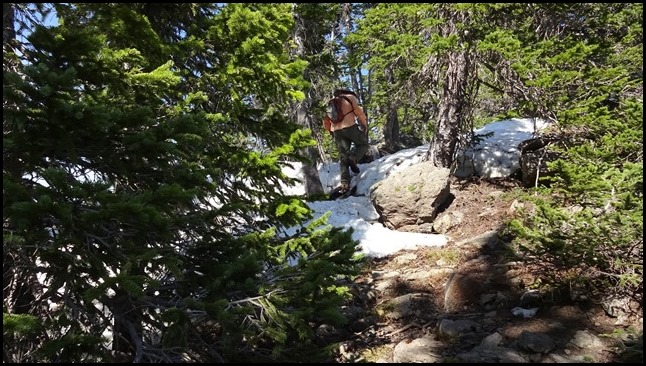
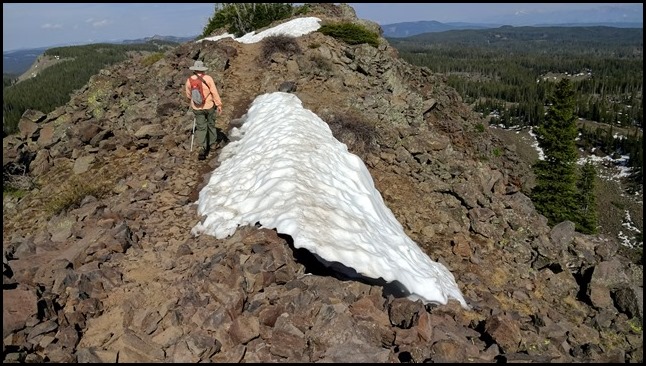
Part of the trail goes through the forest, part is open and very rocky. Once you get up on the crest it is narrow with drop-offs on both sides. We walked through quite a lot of snow and mud and crossed several streams but we were prepared this time.

DSC01907

DSC01902

DSC01903

DSC01904

DSC01905

DSC01916

P1010637

P1010640

P1010641

DSC01925

DSC01928

DSC01929

P1010644

It was a nice hike, one that we may have to go back and do again.